Radar that tells you
what it sees.
The same NEXRAD Doppler radar meteorologists read, with every storm tracked and explained in plain words: what it’s doing, where it’s headed, and how strong it’s been. NWS warnings for where you are, free and always on.
Coming soon to the App Store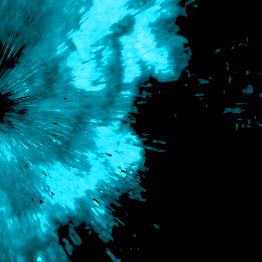
Radar
The full radar, not a picture of it.
Many weather apps show a smoothed, delayed radar image. This is the raw NEXRAD data, straight from the National Weather Service, as fast as each scan is published.
- Every radar site in the US, animated and live.
- Reflectivity, velocity and dual-pol, at every elevation tilt the radar scans, not just the lowest one.
- Storm-scale products: composite reflectivity, VIL, echo tops, storm total precipitation.
- Zoom to street level and tap anywhere to read the exact value at that spot.
- Storm reports and SPC outlooks on the map: what spotters saw, and today’s severe risk areas.
Storms
Every storm, explained.
Storms are found, tracked and outlined for you. Tap one and it tells you what’s going on, in plain words.
- What it’s doing and where it’s headed, with a motion arrow and a threat level on the map.
- Towns in its path, with the time it should reach each one.
- Its recent peak readings, from the radar, with the numbers shown.
- Honest when it can’t know. If a storm is too far out to time, it says so instead of guessing.
Alerts
Warnings for where you actually are.
Alerts follow you, and you decide what’s worth waking you up.
- Every NWS warning, watch and advisory for your location, on the map and as a push alert.
- A heads-up before rain arrives, based on what the radar sees coming.
- A daily forecast, morning, midday or evening, whichever you want.
- Quiet hours. Routine updates arrive silently overnight.
Forecast
The forecast, for every place you care about.
Four views of the weather, for where you are or any place you save.
- Now, Hourly, 7-Day and Almanac, one tab each.
- Save your places: home, work, the lake house. Switch with a tap.
- Search any US city, town, ZIP or county, answered right on your phone.
- Put your favorite tab first, with the forecast in light or dark.
Privacy
No ads. No account. No tracking.
A weather app shouldn’t be an ad business. This one isn’t.
- No ads and no third-party analytics or advertising code in the app.
- No account to create. Just open it.
- Your location stays on your phone unless a feature you turned on needs it.
- We don’t sell your data. Not to advertisers, not to anyone.
Free vs Pro
See inside the storm.
Nothing about your safety is behind Pro. Every warning is free and always on.
Always free, never locked
- Every NWS alert for your location: warnings, watches, advisories, critical alerts
- Next-hour precipitation: the strip, notifications and widgets
- Storm tracks and radar: all tilts, reflectivity, velocity, dual-pol
- Storm reports and SPC outlooks: what spotters saw, today’s risk areas
Pro adds
- Rotation and debris signatures: where the radar sees spin, and how strong
- Hail size: largest likely hail, per storm
- ProbSevere: NOAA/CIMSS model chances, shown as issued
- Split view: two products side by side, in sync
- Lightning detail: rate and trend for each storm
- 30-day radar archive: replay any storm from the last month
No ads. We don’t sell your location. Pro is bought and cancelled through your Apple ID, any time in Settings.